open today 08:00 AM - 02:00 PM (without interruption)


What is the PAG?
''The General Development Plan (PAG) is a set of graphic and written regulations completing each other, and covering the entire municipal territory, which they divide into various zones to regulate land use.
The objective of the general development plan is the judicious distribution and placement of human activities in the various zones that it defines in order to guarantee the sustainable development of the municipality, as defined by Article 2 of the amended Law of 19 July 2004 on municipal planning and urban development.
Each municipality is required to have a general development plan covering its entire territory. Two or more municipalities may develop a joint project, which stands in lieu of a general development plan for each of them.'' (maint.gouvernement.lu)
The general development plan of the Commune of Niederanven
The written part
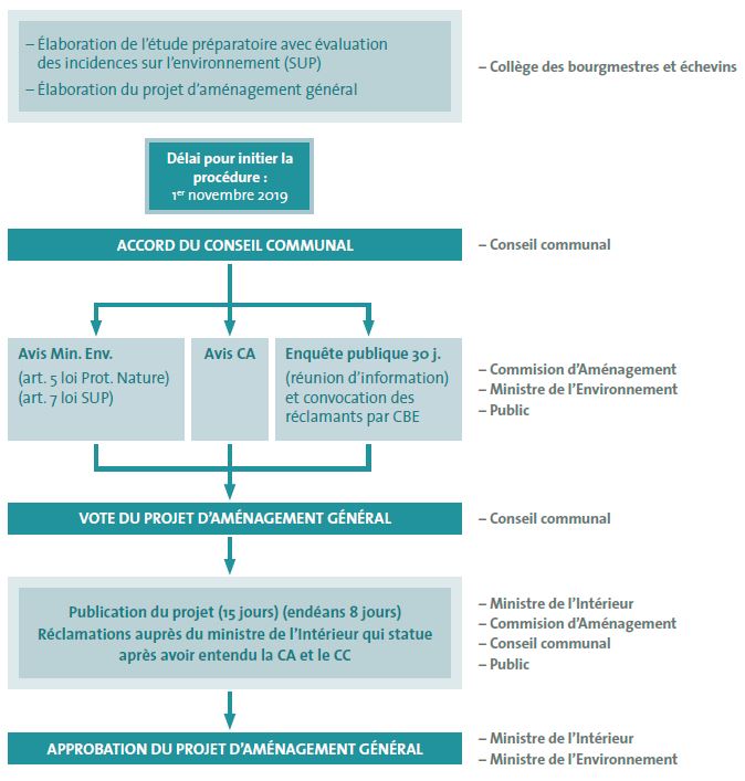
The General Development Plan of the Commune of Niederanven was developed in accordance with the Law of 19 July 2004 concerning planning and urban development of communes, as amended by the Law of 28 July 2011. The graphics and the written part of the general development plan were defined by the Grand Ducal Regulation of 28 July 2011 concerning the content of the P.A.G.
The graphic part
The graphic part of the General Development Plan of Niederanven shows the following plans covering the localities of Niederanven Senningerberg, Senningen, Hostert, Oberanven, Rameldange and Ernster. These plans also cover a part of the Luxembourg airport and Waldhof.


